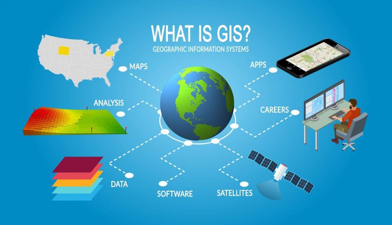
Geographic Information Systems (GIS) is a powerful tool that is being used increasingly in agriculture to improve crop production, optimize resource management, and make informed decisions about farming practices. GIS allows farmers and agronomists to visualize and analyze spatial data, such as soil type, elevation, and weather patterns, to make more informed decisions about how to manage crops and natural resources. In this blog post, we'll explore some of the ways in which GIS is being used in agriculture and discuss the benefits of this technology.
One of the key ways in which GIS is being used in agriculture is to optimize crop production. By analyzing spatial data such as soil type, moisture levels, and weather patterns, farmers can identify the most suitable locations for different crops and optimize the use of fertilizers and irrigation. GIS can also be used to monitor crop growth and identify areas that may be experiencing stress, allowing farmers to take timely corrective action.
Another important use of GIS in agriculture is resource management. By visualizing and analyzing data such as land use, water availability, and soil quality, farmers and agronomists can make more informed decisions about how to manage natural resources in a sustainable way. GIS can also be used to monitor the impact of farming practices on the environment and identify opportunities for improvement.
GIS is a powerful tool that is revolutionizing the way we think about agriculture and resource management. By using geospatial technology, farmers and agronomists can make more informed decisions, optimize crop production, and sustainably manage natural resources.
Keywords: GIS, agriculture, geospatial technology, crop production, resource management, spatial data, soil type, weather patterns, fertilizers, irrigation, crop growth, land use, water availability, soil quality, environment.

